SEEGLÜCK Hotel Forelle****S
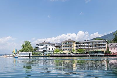
from€ 89,-per person
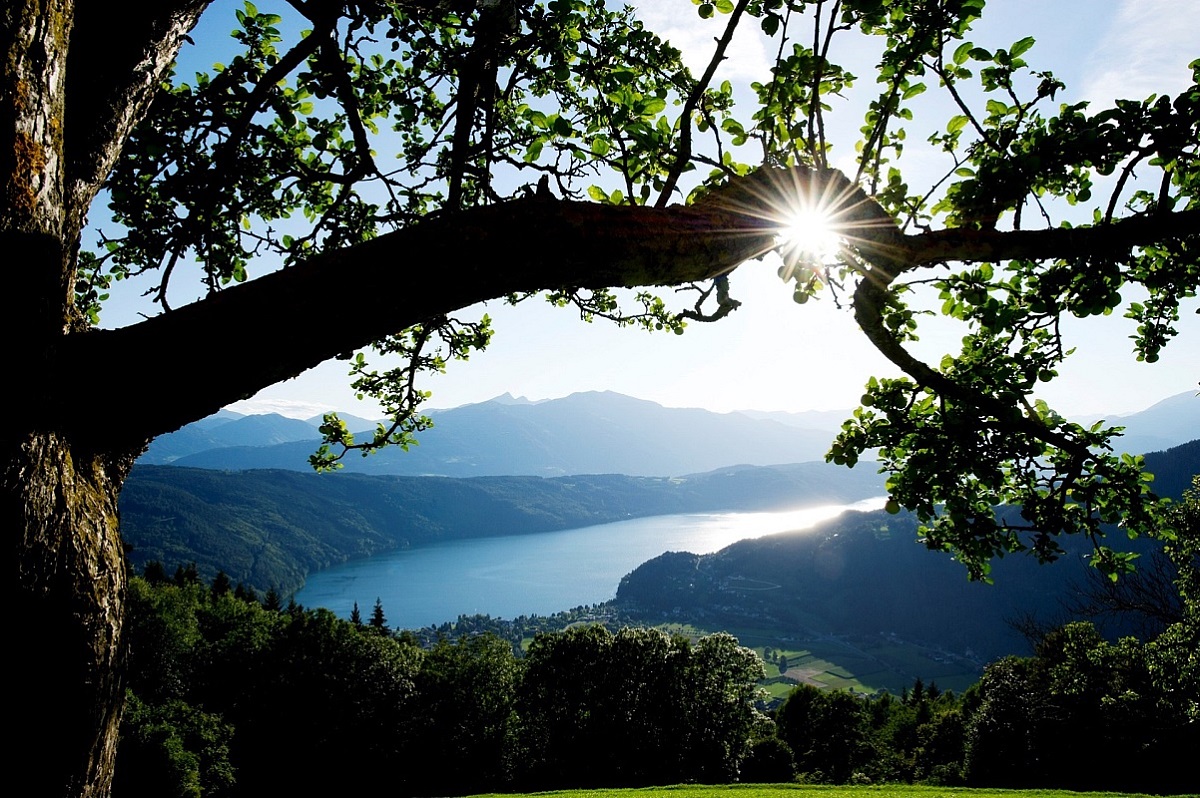
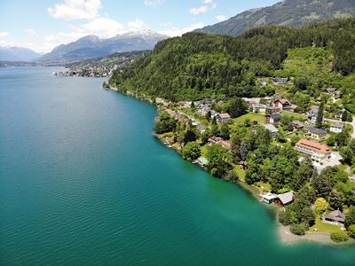
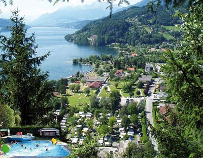
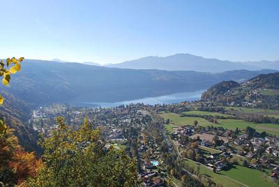
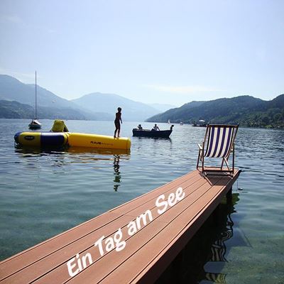
With a water volume of 1,200 million m³, an area of 1,328 hectares and a depth of 141 metres, Lake Millstätter See is the largest water body in Carinthia. In summer, its temperature reaches 27°C. The lake water is of drinking water quality and rich in minerals, which makes it particularly soft.
> The 8 villages around the lake: Döbriach/Radenthein, Millstatt, Seeboden, Spittal/Drau, Baldramsdorf, Lendorf, Ferndorf Fresach
> Largest water body and the deepest lake in Carinthia
> On the sunny southern side of the Alps
> Lake depth: 141 metres
> Water temperature: 24-27 degree
> Length of lakeside: 25.5 km
> Sea level: 600 - 2,000 metres
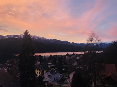
Location: Lake Millstätter See is embedded in the mountainscapes of the Nockberge National Park, surrounded by the Millstatt Alps with the Tschiernock, the Goldeck and mystical Mount Mirnock. The terraced topography is typical for Lake Millstätter See: the first terrace - at an altitude of 600 metres - is formed by the lake. The second terrace - at an altitude of 900 metres - is formed by the high plateau stretching from the lake's eastern shore to the western shore. The third terrace is formed by the Millstatt Alps - at an altitude of 2,000 metres.
Climate: the mild climate is due to the above-average amount of sunshine. South winds carry warm Mediterranean air masses to the lake, while the north is mostly protected from rain and clouds by the Tauern Mountains.
Travel directions:
• by car via the Tauern Highway, Millstätter See/Radenthein exit
• by train to Spittal/Drau Station
• by plane, arrival at Klagenfurt Airport (80 km), Salzburg (120 km) or Laibach (140 km)
ACCOMMODATION
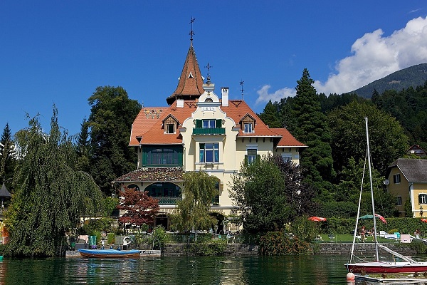
A large selection of accommodation facilities awaits guests along Lake Millstätter See - 10 camping grounds with sites directly along the lake or a site which rotates with the sun, apartments, holiday homes, guest houses, private rooms, farm holidays, "Superior Category" 4-star hotels, facilities specialising in family holidays et al.
Lake Millstätter See Inclusive Card
Many of the accommodation establishments offer guests the Millstätter See Inclusive Card. It can be used for a number of services in the destination, for example: free admission to the lidos and indoor pools, discounts for museum admission, free access to the 3 toll roads, utilisation of the hiking and pool bus services etc. - services, in other words, which further enhance the holiday experience.

from€ 89,-per person

from€ 148,-per person

from€ 114,-per person

from€ 200,-per unit

from€ 80,-per person

from€ 80,-per person

from€ 78,-per person

from€ 91,-per person
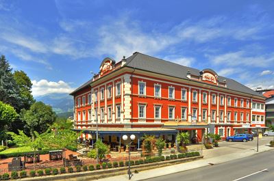
from€ 90,-per person
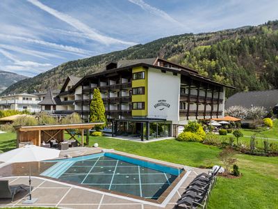
from€ 150,-per person
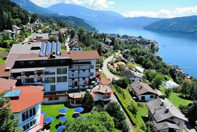
from€ 80,-per person

from€ 100,-per person
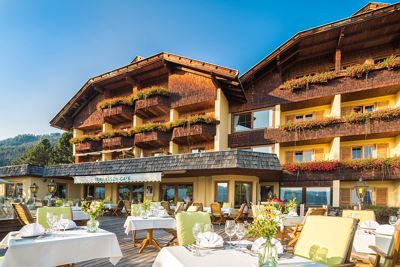
from€ 111,-per person
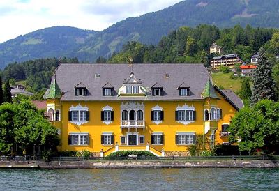
from€ 75,-per person

from€ 46,55per person

from€ 55,-per unit

from€ 52,-per unit

from€ 128,-per person

from€ 62,-per person

from€ 49,-per person

from€ 69,-per person

from€ 78,-per person

from€ 55,70per person

from€ 63,-per person

from€ 68,25per person
from€ 75,-per person

from€ 58,-per person
from€ 48,-per person

from€ 90,-per unit

from€ 79,40per person
from€ 52,-per person
from€ 50,-per person

from€ 53,-per person

from€ 35,-per person

from€ 15,-per person
from€ 16,10per person
from€ 15,50per person

from€ 10,30per person

from€ 14,-per person

from€ 39,-per person
from€ 62,-per person

from€ 45,-per person

from€ 39,-per person

from€ 41,-per person

from€ 72,-per unit

from€ 21,67per person

from€ 60,-per person

from€ 70,-per unit
from€ 51,06per person

from€ 47,50per person

from€ 80,-per unit

from€ 110,-per unit
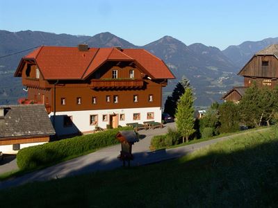
from€ 58,-per person

from€ 33,75per person
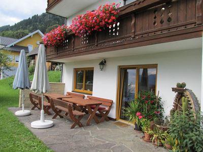
from€ 33,-per person

from€ 33,-per person
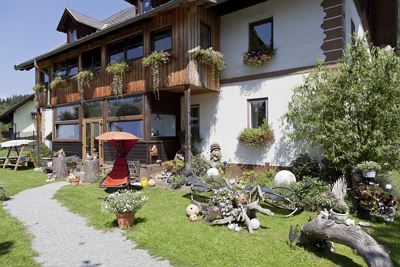
from€ 25,-per person

from€ 30,-per person

from€ 59,-per person

from€ 36,75per person
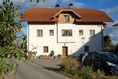
from€ 50,-per person

from€ 75,-per unit

from€ 85,-per unit
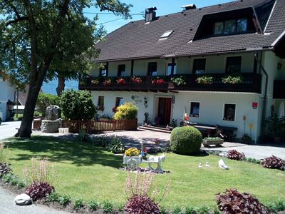
from€ 70,-per unit

from€ 90,-per unit
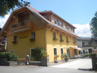
from€ 110,-per unit
from€ 70,-per unit

from€ 40,-per person

from€ 60,-per unit
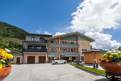
from€ 44,-per person
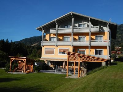
from€ 50,-per person
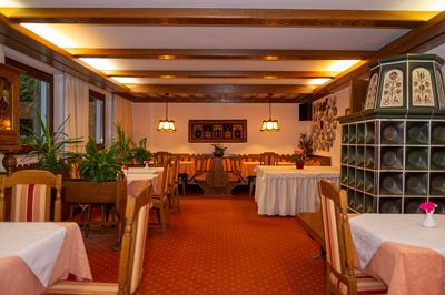
from€ 50,-per person

from€ 57,-per person

from€ 50,-per person
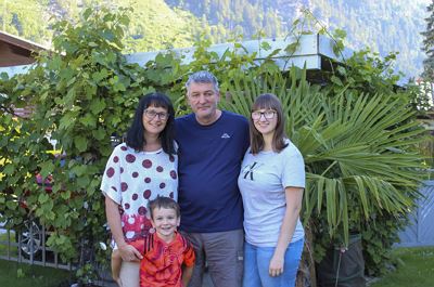
from€ 45,20per person

from€ 100,-per unit

from€ 46,-per person
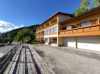
from€ 107,-per unit
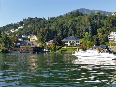
from€ 47,-per person
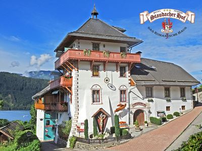
from€ 45,-per person
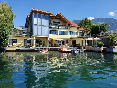
from€ 58,-per person
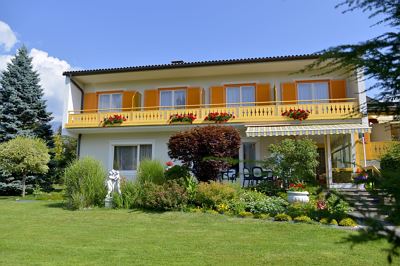
from€ 38,54per person
from€ 32,50per person

from€ 41,-per person

from€ 65,-per person
from€ 47,-per person
from€ 42,-per person

from€ 170,-per unit

from€ 93,-per person

from€ 0per person

from€ 46,-per person

from€ 100,-per unit

from€ 39,-per person

from€ 35,-per person
from€ 50,-per person
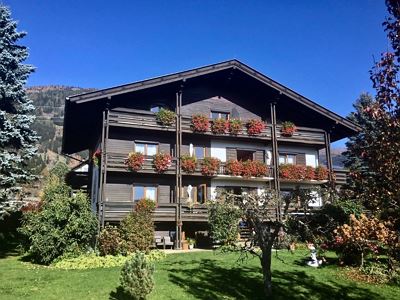
from€ 35,-per person
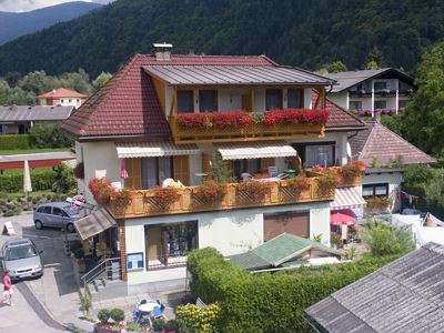
from€ 43,-per person
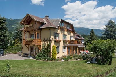
from€ 45,-per person
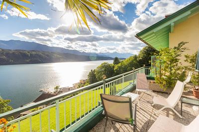
from€ 35,-per person

from€ 220,-per unit

from€ 130,-per unit

from€ 110,-per person

from€ 875,-per unit
from€ 170,-per unit

from€ 205,-per unit

from€ 110,-per unit

from€ 195,-per unit
from€ 99,-per unit
from€ 100,-per unit

from€ 76,-per person

from€ 190,-per unit
from€ 25,50per person

from€ 295,-per unit

from€ 80,-per unit

from€ 180,-per unit

from€ 100,-per unit

from€ 130,-per unit

from€ 297,-per unit

from€ 180,-per unit

from€ 145,-per unit
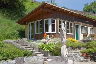
from€ 70,-per unit
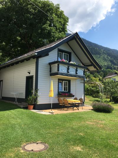
from€ 85,-per unit
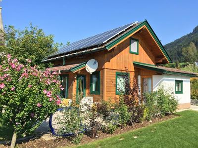
from€ 90,-per unit
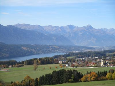
from€ 195,-per unit
from€ 210,-per unit

from€ 34,-per person
from€ 111,-per unit

from€ 101,-per unit
from€ 42,50per person

from€ 76,-per unit

from€ 999,-per unit
from€ 120,-per unit
from€ 150,-per unit

from€ 75,-per unit
from€ 123,-per unit

from€ 87,-per unit
from€ 115,-per unit

from€ 111,-per unit

from€ 99,-per unit

from€ 145,-per unit

from€ 110,-per unit

from€ 139,-per unit
from€ 61,-per unit

from€ 85,-per unit

from€ 85,-per unit
from€ 60,-per person

from€ 75,-per unit

from€ 70,-per unit
from€ 90,-per unit

from€ 125,-per unit

from€ 80,-per unit

from€ 68,-per unit

from€ 54,-per person

from€ 38,-per person

from€ 120,-per unit

from€ 90,-per unit
from€ 90,-per unit

from€ 60,-per person

from€ 88,-per unit
from€ 0

from€ 78,-per unit

from€ 153,-per unit

from€ 85,-per unit
from€ 80,-per unit

from€ 88,-per unit

from€ 110,-per unit

from€ 81,-per person

from€ 90,-per unit

from€ 72,-per unit

from€ 85,-per unit
from€ 120,-per unit

from€ 83,-per unit

from€ 75,-per unit

from€ 90,-per unit

from€ 72,-per unit

from€ 65,-per unit

from€ 140,-per unit

from€ 95,-per unit

from€ 125,-per unit

from€ 53,-per unit

from€ 80,-per unit

from€ 100,-per unit

from€ 85,-per unit

from€ 43,50per person

from€ 61,-per unit

from€ 85,-per unit

from€ 120,-per unit

from€ 100,-per unit

from€ 77,50per person
from€ 84,-per unit

from€ 95,-per unit

from€ 86,-per unit
from€ 105,-per unit

from€ 65,-per unit

from€ 49,-per unit

from€ 150,-per unit

from€ 110,-per unit
from€ 130,-per unit
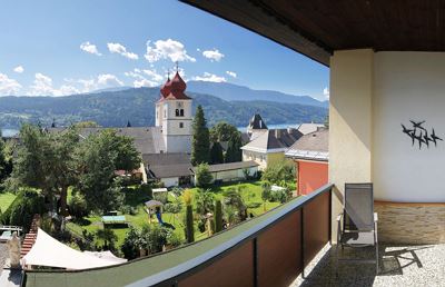
from€ 99,-per unit
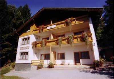
from€ 68,-per unit
Pleasewait
Search in progress, please wait…